Maps, Navigation & Directions
- 4.0
- Rating
- 5.00M
- Installs
- Free
- Price

 Analysis by App-foxy
When I test an offline navigation app, I care about one thing before anything else: whether I can trust it when the signal disappears. Universal Nav takes a straightforward approach to maps and directions by focusing on route access without depending entirely on a live connection. I found that idea useful for road trips, areas with unreliable coverage, and anyone who wants navigation available without paying for the app itself.
This is a free Maps & Navigation app for Everyone, developed by Universal Nav. It has reached over five million installs and holds a 4.0 average from around thirteen thousand ratings, which suggests that it has found a practical audience while still leaving room for mixed experiences. Its current version is 1.58, and it works on Android 8.0 or later. Those details matter because this is not a premium specialist tool aimed at a narrow group; it is an accessible option for ordinary drivers, walkers, and travelers who want offline route support.
How the offline approach feels in everyday use
The main appeal is easy to understand. Before leaving home, I can prepare for a journey while connected, then rely on saved map information when mobile coverage becomes weak or unavailable. That changes the way I plan. Instead of treating navigation as something that starts only after I get in the car, I treat the route as part of the trip preparation.
You May Also Like

 Blood Strike: 2.5 Anniversary
Blood Strike’s Loadouts Turn Every Drop Into a Tactical Gamble
A close look at Blood Strike’s custom loadouts: how fast access to signature weapons reshapes its battle royale rhythm, rewards preparation, and narrows the gap between fights.

 Pandora - Music & Podcasts
Pandora’s Music Is Easy to Start, but Harder to Recover
Pandora’s strength is its low-effort path from a seed to a station. Its weak spot is how much confidence it asks you to place in connection, setup, and quiet recovery.

 8 Ball Pool
 Is Built on Rivalries, Rematches, and Routine
A close look at the rivalries, rematches, shared routines, and unanswered safety questions that turn a quick pool match into a persistent mobile community.

 Samsung Music
’s Quiet Strength Is Playing What You Already Own
Its reach comes less from spectacle than from dependable access to a personal library. That simplicity is both the app’s strongest retention engine and its ceiling.

 AccuWeather: Weather Radar
AccuWeather Review: A Quick, Clear Forecast for Everyday Decisions
For everyday plans, the best forecast is the one you can understand quickly. AccuWeather makes rain timing, radar, and local conditions easy to act on, with a few trade-offs.

 Hill Climb Racing
Why Hill Climb Racing Still Turns Crashes Into One More Run
A tiny car, a bumpy hill and one more upgrade: Hill Climb Racing keeps resurfacing because its simple chaos makes every near-miss feel personal.
More From Our News Desk



A realistic example would be a weekend drive through rural roads. I would check the route before departure, make sure the relevant area is available for offline use, and keep the phone charged. If the road passes through a valley or a long stretch with poor reception, I would still have a better chance of following the planned direction than I would with an app that expects a constant connection. The important habit is to prepare before losing service, not after.
That workflow also helps in places where roaming or mobile data is expensive. Since the app is free, it can be appealing to travelers who do not want to make a paid navigation service part of their trip budget. However, free does not mean effortless. Offline maps require planning, storage space, and a sensible backup plan. I would never begin an unfamiliar, long-distance journey without checking the route beforehand and carrying another way to confirm critical road information.
What I would do before leaving
My preparation routine would be simple but deliberate. First, I would open the app while connected and inspect the complete journey rather than only the first few turns. Then I would identify fuel stops, destination entrances, and any point where a wrong turn could create a long detour. Finally, I would keep the phone accessible and charged instead of assuming that the app can solve every problem automatically.
This is one of the less obvious trade-offs of offline navigation: it reduces dependence on a network, but it increases dependence on preparation. A live map can often react to changing conditions as you travel. An offline route is more self-contained, yet it may not reflect a sudden closure, temporary construction, or a newly changed road. I like the independence, but I would pair it with common sense and local signs.
Trust starts with visible choices
For a navigation app, trust is not only about whether a route looks correct. It is also about how comfortable I feel using it during personal journeys. Location-related apps naturally make people think about permissions, data handling, accounts, and control. I prefer to examine the choices shown on my device instead of assuming that every app behaves in the same way.
With this app, I would review the permission prompts carefully during setup and use the Android settings to see which access is enabled. I would grant only what is needed for the way I intend to use navigation, and I would revisit those settings if my habits change. If I only need to inspect a route before leaving, that is a different situation from using turn-by-turn guidance while moving.
My practical rule is to approve access deliberately, not automatically. That is especially important with any map product because location can reveal routines, workplaces, homes, and places visited. The app’s usefulness should not remove the user’s responsibility to check the controls visible on the phone.
I would also look for account-related choices before depending on the app for an important trip. Some people prefer services that work with minimal setup, while others value synchronization between devices or a richer online profile. The right choice depends on what the app visibly offers during use. I would not create an account merely out of habit, and I would avoid entering personal details that are not necessary for the route task.
Where data sensitivity matters most
Navigation becomes more sensitive when the destination is private. A route to a medical appointment, a relative’s home, a workplace, or a temporary accommodation can reveal more than a simple point on a screen. I would be especially careful in those moments: use the app only when needed, avoid leaving route screens open in public, and review saved places or recent destinations if the phone is shared with someone else.
This is not a criticism unique to Universal Nav. It is a normal consideration for map applications, but the offline focus makes it worth thinking about before a trip. Offline access can be convenient because it keeps route material available without a live connection. At the same time, anything saved locally should be treated as information that remains on the device until I remove it or manage it through the available controls.
I would therefore make a small privacy check part of my travel routine. After a sensitive journey, I would inspect recent searches, saved destinations, and permissions in the phone settings. If the app presents controls for clearing or changing those items, I would use them rather than leaving everything untouched. The broader lesson is that offline convenience and personal discretion should work together.
How much control does the user really have?
The biggest advantage of this type of app is that it gives me a choice about connectivity. I am not forced to treat mobile data as the only path to a route. That is meaningful for travelers, people with limited data plans, and drivers who regularly pass through coverage gaps. The ability to prepare a journey in advance also makes navigation feel less dependent on a perfect signal.
There is another form of control that matters just as much: deciding when not to follow the app. A navigation instruction is a suggestion, not permission to ignore road signs, restricted access, weather conditions, or a local change. If the displayed route conflicts with a visible sign, I would follow the sign and reassess the journey safely. No offline map should replace attention to the road.
Compared with a usual live-navigation alternative, this app’s strongest distinction is the offline-first use case. Live services are often better when I need current traffic awareness, rapid rerouting, or continuously refreshed road information. A browser-based map may be fine for a quick search, but it is less reassuring when I know the connection will be unreliable. Universal Nav sits between those choices: it is more prepared than a simple online lookup, but I would not expect it to match every real-time capability of a constantly connected service.
That comparison helps define its audience. I would recommend it to someone planning a trip through patchy coverage, traveling with limited mobile data, or wanting a free backup route on an Android phone. I would be more cautious about recommending it as the only navigation tool for a city driver who depends on live congestion updates or needs the most responsive rerouting possible.
Small habits that make offline navigation safer
The first useful habit is to prepare the whole route, not just the destination. I would inspect the start, middle, and final approach because the last few streets are often where confusion begins. Apartment complexes, large campuses, and rural addresses can be harder to interpret than the main highway, so I would pay attention before setting off.
The second is to keep a human-readable backup. I might note the name of the final road, an important junction, or a nearby landmark. This does not undermine the app; it protects me from battery problems, a wrong destination pin, or an unexpected road restriction. Offline navigation is strongest when it supports good planning rather than encouraging overconfidence.
The third is to separate route preparation from active driving. I would make changes while parked, not while moving. If the route needs reconsideration, I would stop somewhere safe before handling the phone. This is a basic driving practice, but the convenience of a map can make people forget it.
A fourth tip concerns device management. Because the app works on Android 8.0 and later, compatibility should be checked before installing it on an older phone. I would also test the prepared route before the actual trip, especially if the device has limited storage, aggressive battery saving, or several navigation apps competing for attention. A short test close to home can reveal setup friction that would be frustrating on a remote road.
Who should choose it, and who should look elsewhere?
I see Universal Nav as a good fit for practical users who want free offline route access without turning navigation into a complicated project. It makes sense for occasional travelers, commuters who pass through dead zones, hikers or drivers preparing for areas with weak service, and anyone who wants an additional navigation option available on an Android device.
It is less suitable for someone who wants navigation to handle every changing condition automatically. If live traffic, frequent real-time rerouting, detailed transit planning, or constantly updated local information is the central requirement, I would choose a service built around continuous online data instead. Likewise, users who dislike preparing maps before travel may find the offline workflow inconvenient rather than reassuring.
I would also avoid treating the app as a substitute for local knowledge in unfamiliar or difficult environments. A route can be technically available and still be unsuitable for a particular vehicle, weather condition, road closure, or access rule. The app can help me understand where to go, but it cannot make every route appropriate.
My cautious verdict after weighing convenience and control
Universal Nav is most convincing as a prepared backup and offline travel companion. Its free access, broad Android compatibility, and focus on routes without constant connectivity give it a clear purpose. The 4.0 average from around thirteen thousand ratings reflects a generally positive reception without suggesting that every user will find it perfect.
I like the independence it offers, but I would use it with a preparation checklist: inspect the route while online, confirm the destination, check permissions, keep the phone charged, and retain a backup for important journeys. I would also review local data and account controls through the app and Android settings rather than making assumptions about privacy or synchronization.
My final recommendation is therefore conditional but positive. If your main problem is unreliable coverage or the desire to navigate without depending on mobile data, this free app is worth trying. If your priority is live traffic intelligence and effortless reaction to changing roads, a continuously connected alternative may serve you better. Used with realistic expectations, Universal Nav gives me a useful balance of offline access and user choice, provided I remain the final decision-maker behind the wheel.
FAQs for Maps, Navigation & Directions
01What features does the Maps, Navigation & Directions app offer?
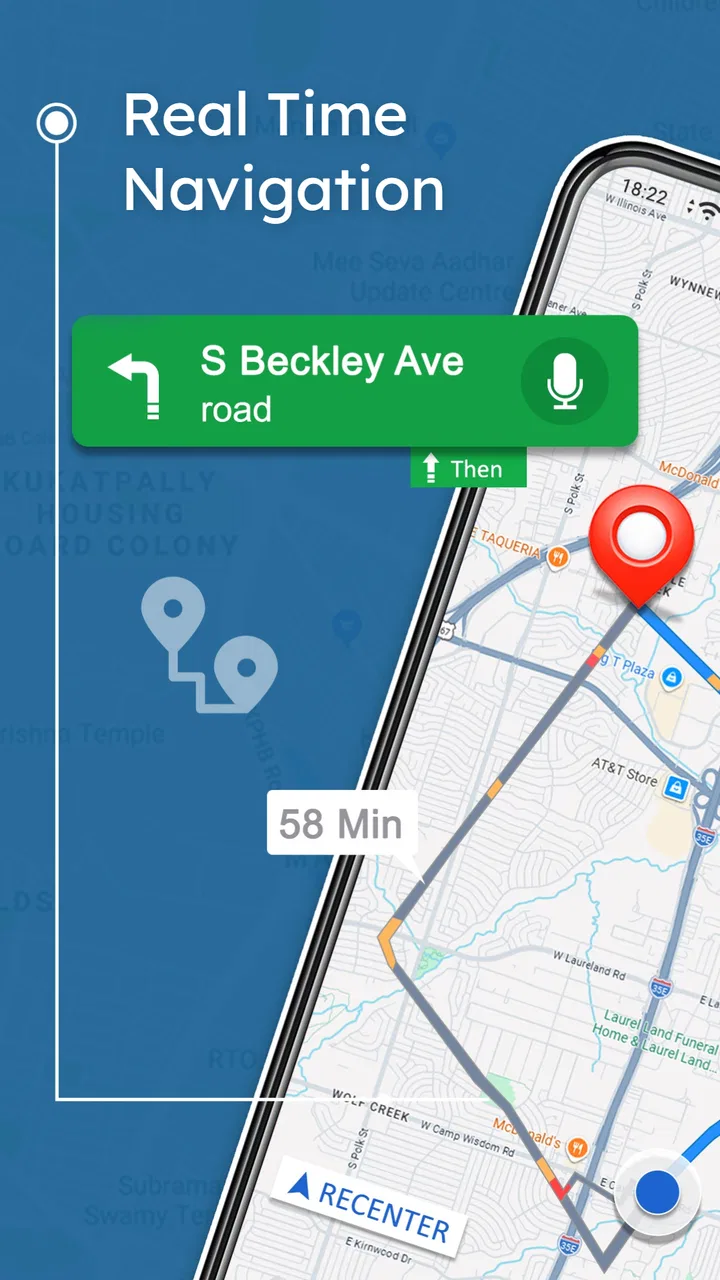
The app provides real-time GPS navigation, traffic updates, and turn-by-turn directions. It includes features like offline maps, route planning for multiple stops, and integration with public transport schedules. Additionally, it provides points of interest, such as restaurants and gas stations, along your route.
02Is an internet connection required to use the app?
While the app offers real-time updates and live traffic information which require an internet connection, it also supports offline maps. You can download specific areas to your device and access them without connectivity, ensuring you’re never lost even in areas with poor network coverage.
03How accurate is the app's navigation system?
The app uses advanced algorithms and real-time data to provide accurate navigation. It continuously updates routes based on traffic conditions, road closures, and other factors. However, like all navigation systems, occasional discrepancies may occur, especially in remote or rapidly changing environments.
04Can I customize my route preferences in the app?
Yes, the app allows you to customize your route based on preferences such as avoiding toll roads, highways, or ferries. You can also choose routes optimized for different modes of transport, including walking, cycling, and driving, ensuring the best path according to your needs.
05Is the Maps, Navigation & Directions app available on both Android and iOS?
Yes, the app is available for download on both Android and iOS platforms. It maintains a consistent user experience across devices, allowing for seamless transitions if you switch between operating systems. Ensure your device meets the app’s compatibility requirements before downloading.
Pros
- User-friendly interface for easy navigation.
- Real-time traffic updates to avoid delays.
- Offline maps available for data saving.
- Accurate turn-by-turn voice guidance.
- Extensive points of interest database.
Cons
- Occasional GPS signal loss in buildings.
- High battery consumption during use.
- Limited customization of routes.
- Ads in the free version can be distracting.
- Data-heavy app requires ample storage.

Maps, Navigation & Directions
Gallery